About
An open atlas of air and snow for the Third Pole and South Asia.
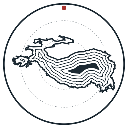
Air pollution and melting snow do not stop at borders drawn across the Indus and the Ganges, and neither should the data about them. The Third Pole, the Hindu Kush–Karakoram–Himalaya and the Tibetan Plateau, stores the largest mass of ice outside the poles and feeds rivers that nearly two billion people depend on. The plains below breathe some of the dirtiest air on Earth each winter. This atlas makes both visible from open satellite data, for anyone, on any side of any border, with every number downloadable.
Commitments
- Open by default: data CC BY 4.0, code open, methods written down; FAIR principles (findable, accessible, interoperable, reusable).
- Standards: STAC, CF conventions, OGC-readable formats, ISO 8601 time, EPSG codes, schema.org metadata; built with free and open-source software (MapLibre, OpenFreeMap, GDAL, xarray, Python).
- Shared across the region: compatible with regional and international data infrastructures so that agencies, researchers and citizens in every country can use the same layers.
- Updated: series run to the present and are refreshed regularly.
Who
Ahmad Ammar, Ulster University. Contributions, corrections and questions are welcome through the issue tracker.